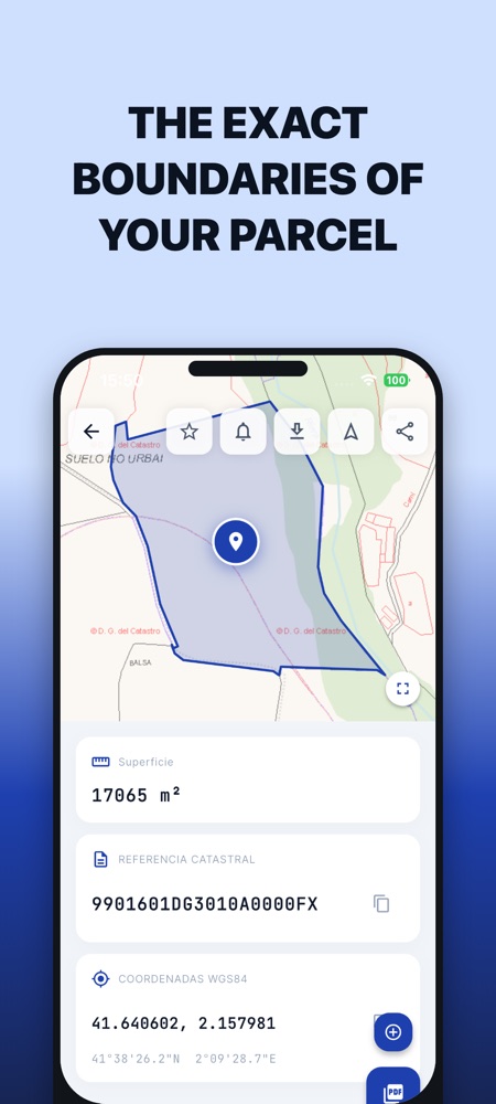
The exact boundaries, on the map
Search by cadastral reference, address or coordinates and the parcel appears with its official polygon: area, boundaries and WGS84 coordinates ready to copy or share.
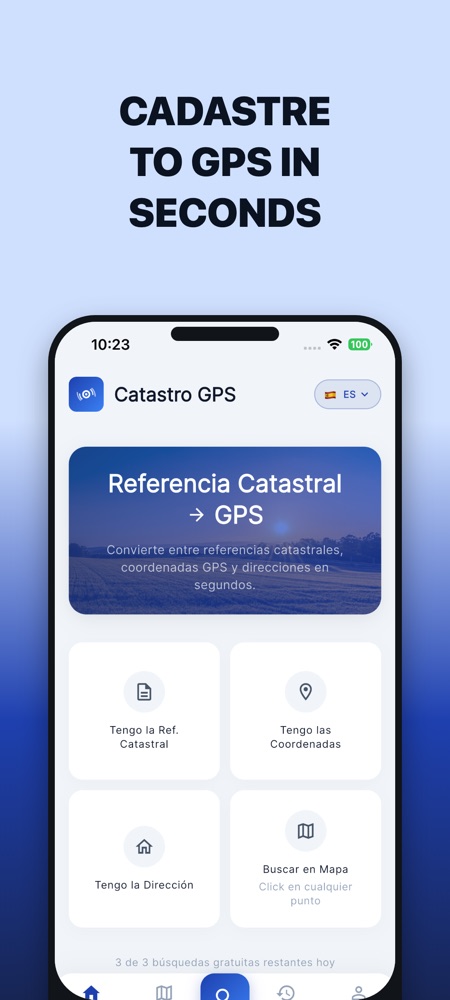
Type the cadastral reference, paste coordinates or tap the map: Catastro GPS shows the parcel with its official boundaries and takes you there with your phone's navigation.
Free with 10 searches a day. For iPhone and Android in Spain, Portugal, France, Italy, Germany and Austria.
For anyone who inherited land and only has a paper with a cadastral reference. For the farmer who wants to stand on the exact parcel before sowing. For the estate agent showing plots with no address.
And for field professionals: surveyors, appraisers and engineers who need to reach the exact spot with their phone.
Search by cadastral reference, address or coordinates and the parcel appears with its official polygon: area, boundaries and WGS84 coordinates ready to copy or share.
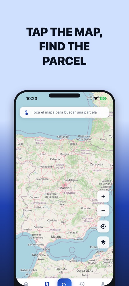
No reference at hand? Move around the map and tap any point: the app finds the parcel underneath. Then one button opens it in Google Maps to get there by car or on foot.